
A walk on Havelhöhenweg
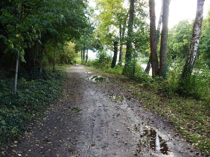
Enjoying a nice walk along the river Havel is a nice way to spend an autumn day.
You can really fill your lungs with fresh clean air on this hiking trail along the steep border of the Havel. The trail begins on Heerstraße in the North and ends at Strandbad Wannsee on its south end, where the wind will ruffle your hair. Information displays will show you the way and also the most important sights on the way are signposted. Narrow pathways snake through the wood, 15 viewing points offer you a great vista of the Havelland region, Potsdam and Grunewald. Benches along the trail invite you to take a rest.
Top10 Redaktion
Erfahrungsbericht vom 07.10.2024
Card payment:
EC, Visa, Mastercard, Amex
Price level:
10,00 Euro - 20,00 Euro
Parking:
Free street parking
Seating:
Outdoor seating available
Opening Hours
- Daily: 11:00 AM – 10:00 PM
Address
Schirwindter Allee, 2, 14055, Berlin, Deutschland
http://www.stadtentwicklung.berlin.de/forsten/waldspaziergang/havelhoehenweg/index.shtml